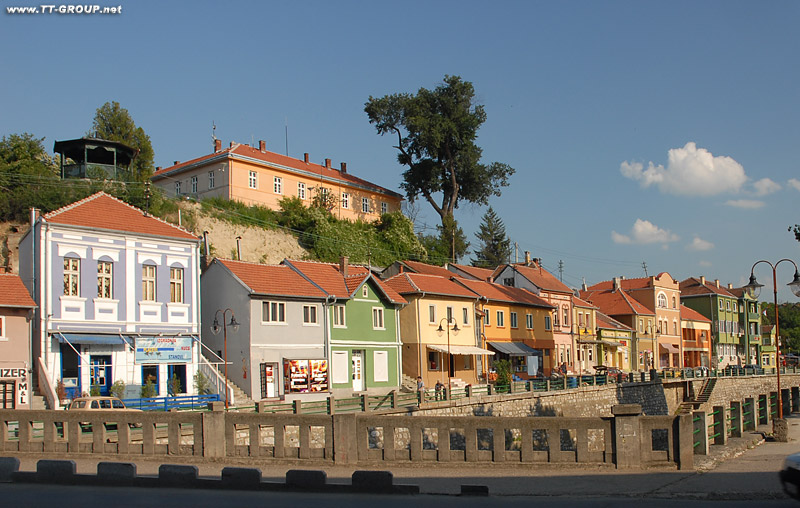
Knjaževac most
Tweet
Povratak na početak reportaže: Istočna Srbija

Visit Eastern Serbia sponsors: Weather forecast Belgrade, Euro dollar converor, Visit Serbia photo travel guide, Visit Belgrade photo travel guide
Knjaževac : Knjaževac is a town and municipality situated in the eastern part of Serbia bordering the Republic of Bulgaria and is part of Timočka Krajina region. It is found between the latitudes of 43°20' and 43°45' north and between the longitudes 22°11' and 22°41' east. The town is situated between three mountains. The municipality extends over an area of 1202 km2 and is the fourth largest in the Republic of Serbia. Its countryside is mostly hilly and mountainous.
The highest point in the territory of the municipality is Midžor on Stara Planina (2169 m), which is also the second highest peak in the Republic of Serbia. The lowest point is 176 metres high and is situated in the Knjaževac valley. There are 86 inhabited places in the municipality of which 85 are villages. The town itself is situated at the confluence of the Trgoviški Timok and the Svrljiški Timok which become the Beli Timok. It flows on towards Zaječar, merges with the Crni Timok and becomes simply, Timok. It is this river that gives name to the Timočka Krajina region.
Knjaževac is connected with other towns by road and railroad traffic. Knjaževac is situated in eastern Serbia and is an integral part of Timočka Krajina region as its southmost towns.